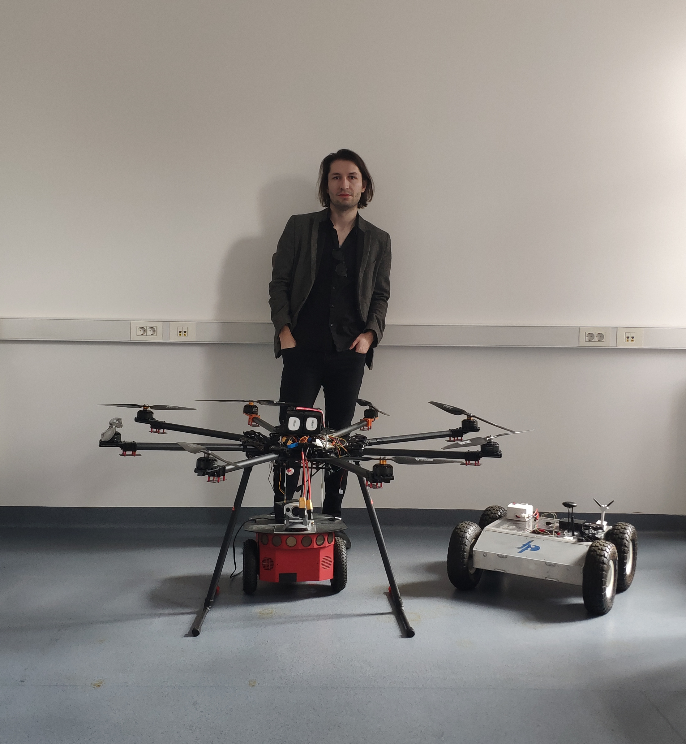
“Forecasting floods using aerial mapping”
Usage of Unmanned Aerial Vehicles (UAVs) gained popularity due to its availability, affordability, and the ease of use. In recent years, these platforms have been extensively used for aerial mapping with even better precision. In this lecture we extend this approach to river environment aerial mapping, water surface segmentation and 3D model building and computational fluid dynamics (CFD) modelling for flood prediction. We will revisit how multiple view geometry works and how we can build a 3D model from a set of aerial images obtained with UAV. Next, we will see how deep learning can be employed to segment the water surfaces. Finally, we will address the issue of water bed surface modelling and CFD modelling of water streams to implement different scenarios of increased water flows due to excessive snow melting, torrential rains and flash-floods.

