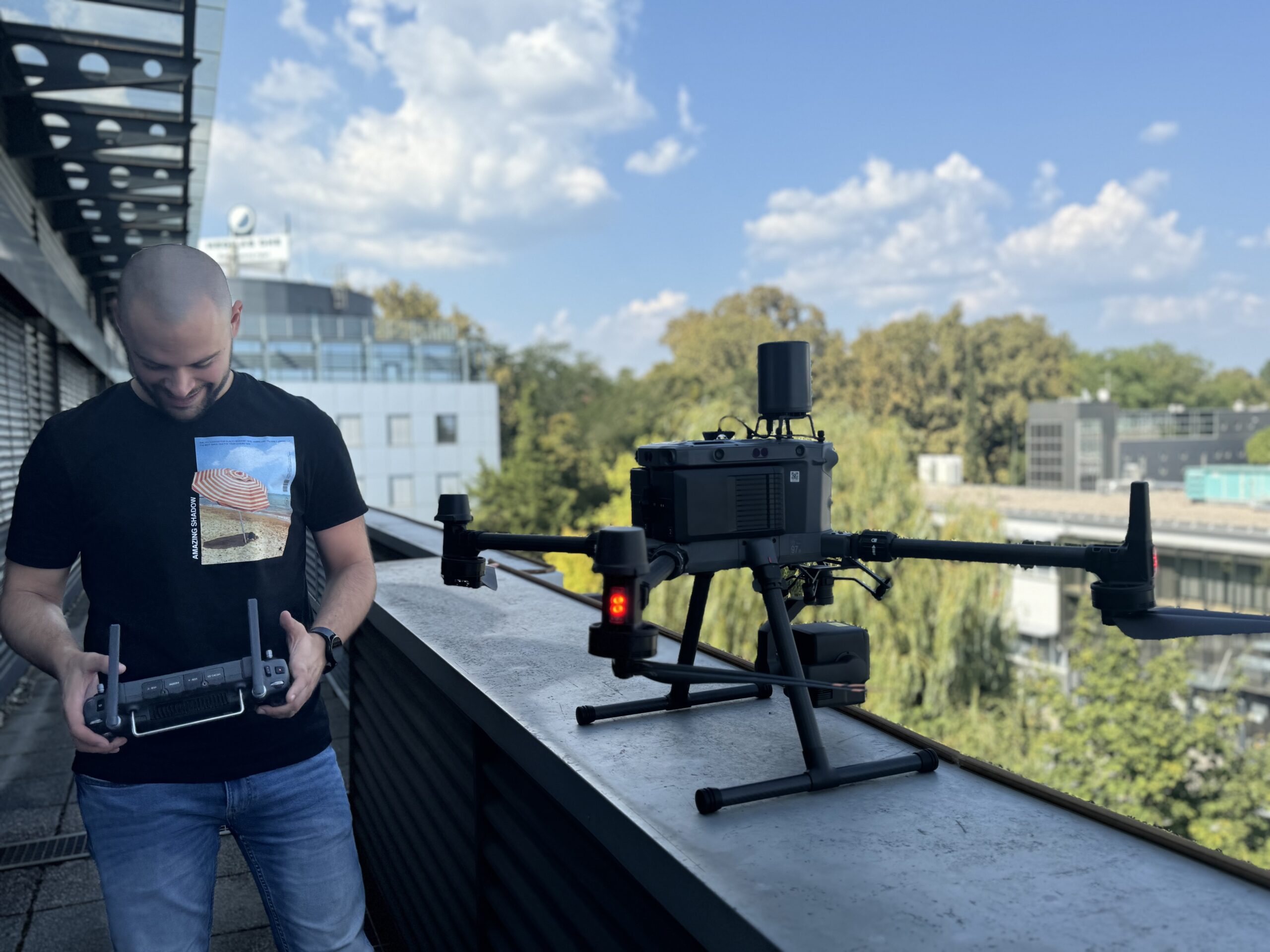
Drones and GIS: Precision Mapping for Enhanced Insights and Planning
The presentation will showcase how Prehnit d.o.o. uses drones equipped with thermal, RGB, and LiDAR sensors. The focus will be on the practical application of this data through our ENA system, which enables cities and municipalities to adjust municipal fees according to the actual area of properties, and the MAP platform, which centralizes and visualizes data on resources and assets. These solutions provide precision and efficiency in managing urban and industrial spaces and are adaptable to various industries.

